
Cabarrus County Neighbors by Block
There is no certified block list for Cabarrus County neighbors. The practical public route begins on a parcel map, where each adjacent polygon can reveal a parcel identifier and taxable owner. A land-record index then tests the ownership trail. A voter list can be requested for lawful county or precinct analysis, while old directories and library material add historical context. Each source answers a different part of the question. An owner might be a trust, company, or nonresident, and a public registration record cannot account for every person who lives at an address.
| Block source | What It Shows About Nearby Parcels | Access Route |
|---|---|---|
| Map Cabarrus | Adjacent geometry, address, parcel details, taxable-owner link, and map layers | Free map-browse and parcel-click tool |
| CLaRIS | Deeds, plats, prior owners, and legal descriptions for a selected parcel | Online index or Register of Deeds office |
| Real Estate Search | Owner, mailing and situs address, tax, parcel, and zoning filters | Free county search |
| County or precinct voter list | Public registered names, addresses, precinct, district, and voter history | Request from the Board of Elections |
| Historic directories and Lore Files | Past street occupants, family, church, cemetery, and obituary leads | Library, archive, or item-specific scan |
Read the column labels closely. The parcel roll describes taxable ownership, not every ownership interest or current occupant. A voter file describes registered voters subject to exclusions, not all adults on the block. The Cabarrus County street directory follows a full named street; the method here stays close to the target address and its immediately surrounding parcels.
Cabarrus County Parcel-by-Parcel Mapping
Map Cabarrus accepts parcel, owner, and address searches. Select the target result, zoom in, and click adjacent parcels individually. The parcel panel can provide details and field information; a share link, print tools, and measurement tools are also available. The map does not expose a named automatic radius or certified block query. Use it to browse the polygons that actually border or sit near the address, rather than claiming that every nearby record belongs to the same block.
- Search the address or parcel, then select the correct property from the matching results.
- Zoom in and click the neighboring parcel polygons one by one. Save each PIN, address, and taxable-owner detail shown.
- Open the corresponding record in Real Estate Search or CLaRIS to compare the legal description, mailing address, deed, or plat.
- Use the measure tool only to apply a consistent distance. For a longer street history, switch to the Cabarrus County street directory workflow.
A PIN is the parcel identification number used to keep a land record tied to the correct tract. Keep it with the address when checking a deed. Street names, mailing labels, and owner names can change, while the parcel and legal description help prevent a record from being carried to the wrong property.
Cabarrus County Block Map Layers
Map Cabarrus adds neighborhood context without turning private details into a public list. Its layers include zoning, flood, school-district, and municipal information. The OpenData collection also identifies address, tax-parcel, voting-precinct, and ZIP layers. Use a layer to understand the setting of the parcel, then return to the parcel details for a name or land-record question. A zoning layer, for example, describes a map designation. It does not identify who lives beside the parcel.
Concord's permit information is a separate address trail for public application, permit, and inspection information where access permits. Concord describes a combined city and county workflow for zoning and building review. A permit can connect an applicant, owner, address, date, status, or work description, but it is evidence of an application or project rather than proof of title or occupancy.
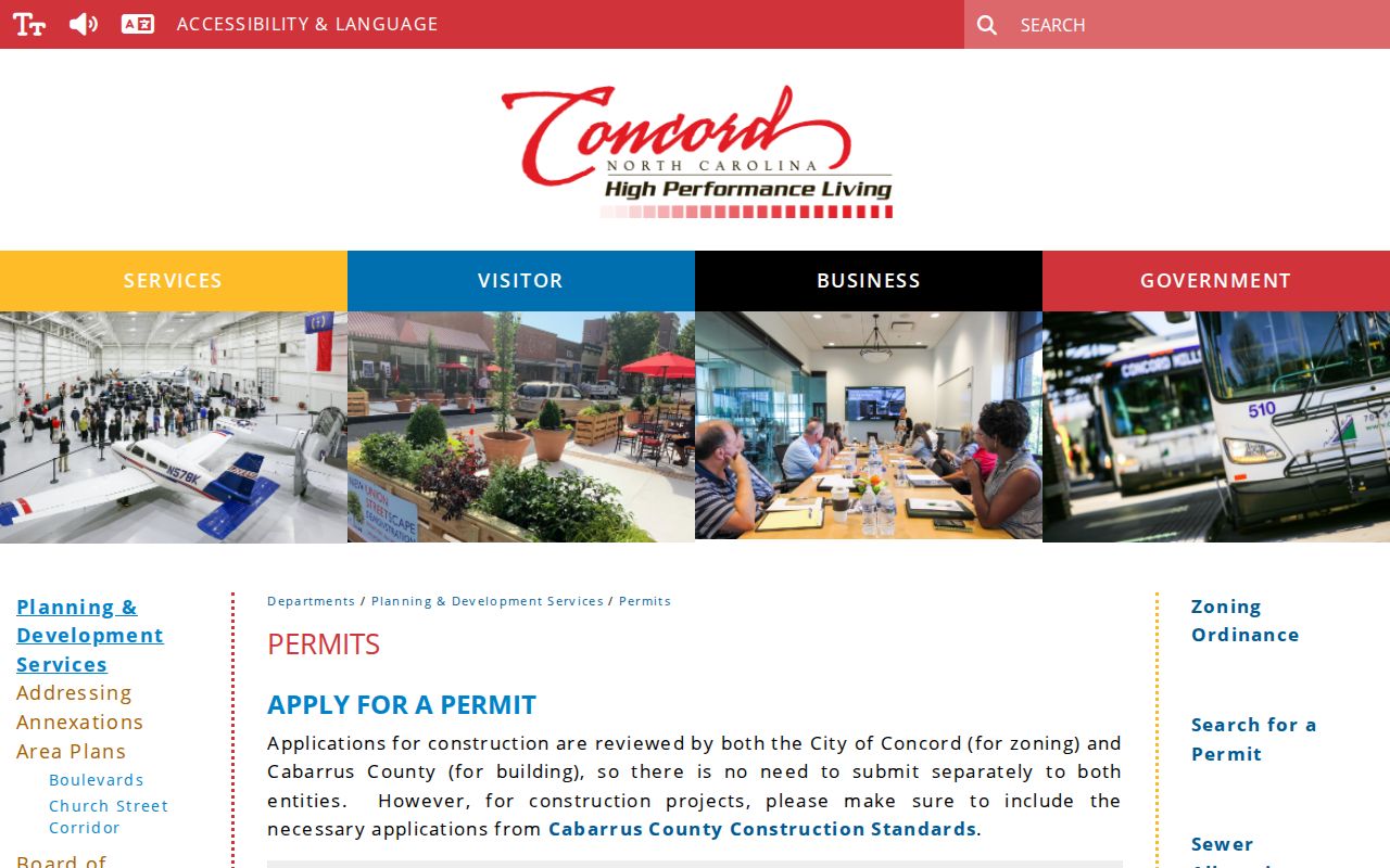
The permit screen is useful only as a supporting record. Compare its address and parcel details with the county land systems before drawing a connection to nearby neighbors.
Map Cabarrus also offers historical aerial imagery back to 1938. This is a Cabarrus County numbers-based record feature, not a resident roll. Comparing aerials can help date the appearance of a subdivision or building when a directory or permit record leaves a gap.
Map a Cabarrus County Block
The adjacent-parcel workflow is a short chain: target address, selected parcel, adjoining parcel, owner or deed check, then a limited community source if it adds context. It works best when each step is documented before moving outward. Do not turn a mailing address into a claim that someone resides there, and do not infer association membership from a parcel owner. The county's data is an inventory that needs record-by-record confirmation.
- Situs address
- The physical location of a parcel. It can differ from the owner's mailing address.
- Taxable owner
- The owner shown for the tax record. That person or entity may not be every owner or an occupant.
- Plat
- A recorded map showing lots, boundaries, and subdivisions. It can help identify the correct adjacent tract.
- Legal description
- The formal land description used in a deed. It is a stronger bridge than a street label when an address has changed.
Note: Map-browse results are useful leads, but the Register of Deeds controls the original recorded instrument.
Cabarrus County Voter File Boundaries
The public North Carolina Voter Search is built for one person, with required first and last names and optional year-of-birth, county, and status filters. It is not a street-only form. For a lawful block or precinct question, N.C.G.S. §163-82.10(c) permits a county or precinct voter-list request with selective fields or reasonable categories. The Cabarrus Board of Elections is the local custodian. Ask for the relevant geography, fields, delivery medium, and current cost rather than assuming a fixed format or fee.
Public voter output can include name, county voter ID, residential and mailing address, sex, race, age, party, precinct, districts, and voter history. It omits full dates of birth, Social Security numbers, driver-license data, certain identity data, and protected addresses. It will not identify unregistered adults or every person at an address. A valid Address Confidentiality Program authorization, protective order, or restraining-order process can keep a physical address confidential.
Cabarrus County Community Records
Local organizations can place a block in its civic or historical setting, but they do not provide open household rosters. Historic Cabarrus lists the Cabarrus Genealogy Society, Eastern Cabarrus Historical Society and Museum, Kannapolis History Associates, KAA MaCC, and St. John's Lutheran Church Heritage Center among local resources. The Lore Files at the Cabarrus County Library add church and family Bible records, cemetery readings, and local-history material. Contact an organization directly for its published records or access policy. Do not treat a parcel owner as proof of membership in a group, association, congregation, or private watch.
| Local resource | Confirmed public use |
|---|---|
| Historic Cabarrus and Cabarrus Genealogy Society | Genealogy links, publications, workshops, and preserved local-history material; no current member directory found. |
| Eastern Cabarrus Historical Society and Museum | Local-history referral and artifacts; no public member roster found. |
| Kannapolis History Associates and KAA MaCC | Kannapolis and African American community-history context; no directory found. |
| St. John's Lutheran Church Heritage Center | Potential church or community record lead, subject to its own request policy. |
Historic Cabarrus genealogy links collect those local-history starting points.
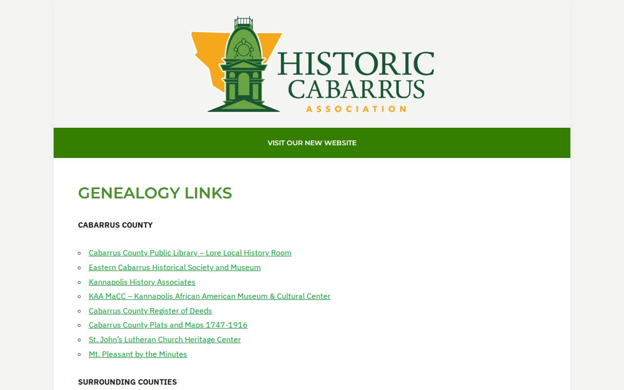
These public links support family and community-history research. They do not establish a current neighbor list.
The Concord City Clerk maintains municipal legislative records, including open-meeting material and ordinance access, rather than a citywide resident directory.
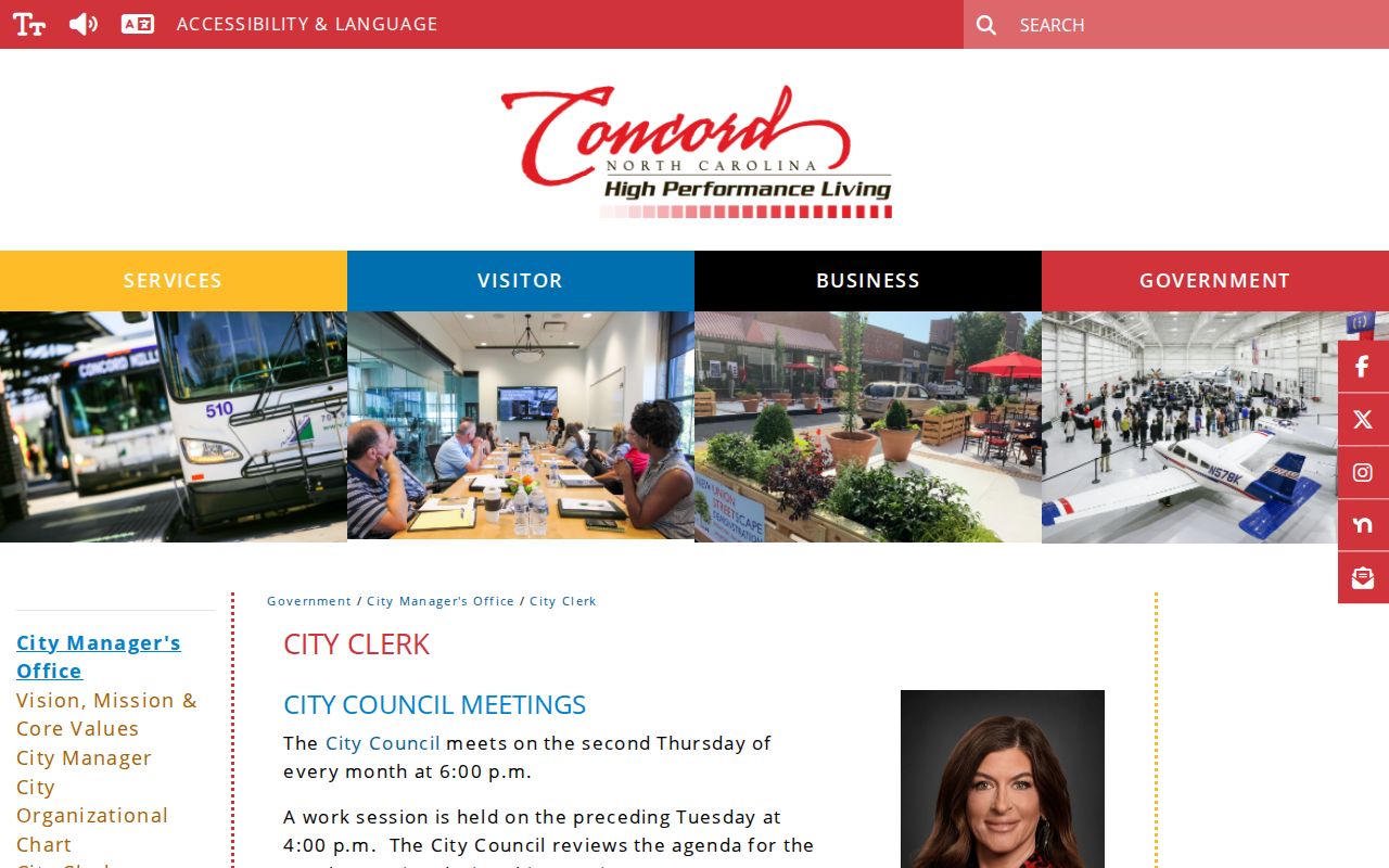
City Clerk records can clarify public city action or a municipal record request, but county land and election custodians handle the relevant parcel and voter records.
Cabarrus County Historic Neighbors
For an earlier block, cemetery, newspaper, and directory evidence may be more useful than a current parcel roll. Concord's municipal cemetery service identifies Oakwood, Rutherford Memorial, and West Concord cemeteries. A burial lead can then be checked against the Register of Deeds, an estate case, the Lore Room, or newspaper material. Historic directories can use marks such as “h,” “bds,” and “wid” and may preserve initials, spouse names, or directional street abbreviations. They are a snapshot of the directory year, not a claim about a living neighbor.
Concord Cemeteries provides the city source and its contact path for burial or grave-location questions.
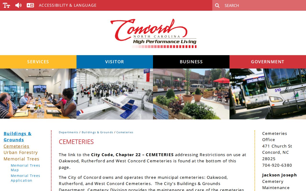
A cemetery record can support an historical family or estate trail. It does not reveal the current people living near an address.
Official Records or Paid Listings
Paid address-association listings may combine public records, marketing data, and old addresses. They can merge different people, lag behind a recorded change, or omit the record that explains the connection. Official sources make their limits clearer and provide the custodian who can correct an error. A parcel owner, a voter registration, a deed, and a cemetery listing each have different dates and meanings. Compare the original record before treating an address association as reliable.
| Official Cabarrus source | Paid address listing category | Best use |
|---|---|---|
| Parcel, deed, voter, court, or library custodian | Mixed public and marketing data | Use the official source to verify a specific field. |
| Record date and custodian are identifiable | Update date and data origin may be unclear | Check the date and the person before relying on a match. |
| Error can be taken to the source custodian | May reproduce an outdated association | Keep the PIN, case number, or filing reference for correction. |
Cabarrus County Neighbor Privacy
Public records leave important information private. A parcel may name a trust, business, or mailing recipient who does not live there. Voter files omit protected addresses and cannot list every person at an address. County files do not open utility, delivery, security-camera, or private-association membership data. North Carolina's Address Confidentiality Program can allow qualifying participants to use a substitute address, and voter confidentiality may apply when the legal requirements are met.
If a county portal shows an error, ask the appropriate custodian to review it. Map and parcel questions belong with Cabarrus GIS or Land Records, deed questions with the Register of Deeds, and voter data questions with the Board of Elections. Preserve the address, PIN, case number, or record date so the office can identify the source record.