
Walk Cabarrus County Streets by Address
Begin with the Cabarrus Real Estate Search. Its address form separates the house number, unit, direction, street name, type, suffix, and municipality. That matters when a directional abbreviation or municipal label prevents a match. If a full address fails, try the street name with the municipality blank, then try the county map's free-text search. Record the PIN or parcel identifier, taxable owner, situs address, mailing address, legal description, subdivision or lot, tax year, and any deed or plat reference displayed. A mailing address is a lead for the owner, not proof that the owner lives at the parcel.
- Run the address through Real Estate Search and preserve the parcel keys and displayed address details.
- Open Map Cabarrus, select the parcel, and browse adjacent parcels one at a time along the street.
- Use the parcel's deed or history path in CLaRIS to identify the current instrument and its grantor.
- For a lawful street-level voter question, request the relevant county or precinct list from the Cabarrus Board of Elections rather than trying to force a street-only search into the individual voter form.
- Use historic Concord directories or Lore Room material only as a date-specific address check, then confirm important details with the controlling record.
This sequence separates parcel ownership, address geography, recorded transactions, and registered-voter data. It also avoids a common error: a parcel record names the taxable owner, but it does not list every person who may be associated with the address.
Note: Preserve the parcel key before changing a search term, because it links the county systems more reliably than a street label.
Cabarrus County Street Directory Field Search
The county assessor form offers more than a single street box. Owner name, account number, parcel routes, tax year, structured address parts, land-size range, land type, and zoning can narrow a Cabarrus County street directory search when a common road name produces too many results. The county calls the data a property inventory compiled from deeds, plats, and public records. Treat it as a starting point and verify title from the recorded documents. Real-property questions go to 704-920-2126, while the county lists 704-920-2154 for technical help.
| Real Estate Search field | Input type | Street-use note |
|---|---|---|
| Owner last name / first name | Text | Optional owner route |
| Account number | Text | Use an exact known account |
| Sheet / Block / Parcel / Interest | Four text fields | Parcel route |
| Tax year | Dropdown | Optional year filter |
| TMP TP / MAP / M / PARCEL / SUFFIX | Five text fields | County TMP identifier route |
| House number / unit | Text | Address component |
| Direction / street name | Dropdown and text | Use the street name as the anchor |
| Type / suffix / municipality | Dropdown or text | Refines similarly named roads |
| Legal land size | Numeric range | Optional size filter |
| Legal land type / zoning type | Dropdown | Options vary in the live form |
The county's CLaRIS help screen documents a second set of address paths, including road name, owner, old PIN, property description, plat book and page, and deed book and page. Its PIN and old-PIN fields require ten numeric digits. That gives a street search several ways forward when a modern address is not the most reliable key.
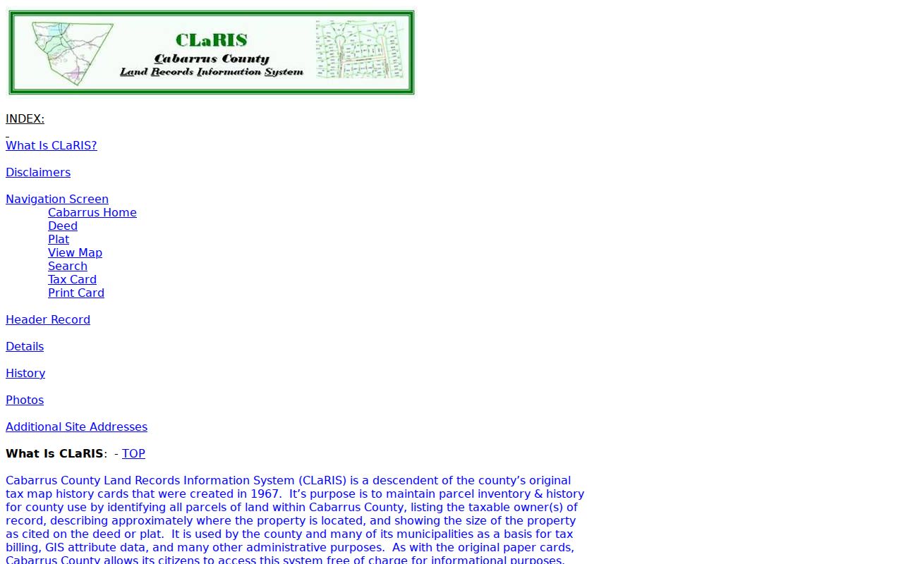
The CLaRIS help display underscores why an address, owner name, or PIN can lead to the same property card through different routes.
Map Cabarrus for a Street Segment
Map Cabarrus is the practical tool for walking a Cabarrus County street one parcel at a time. Search by address, owner, or parcel number, choose a match, and click the parcel for its information panel. Pan along the road and select the next polygon rather than assuming a street search generates a complete street list. The map also supplies share links, print controls, distance and area tools, and a parcel-details printout. It is useful for comparing a short street segment, but the county cautions that GIS is not a deed, survey, or legal document.
Layer controls add context without changing the ownership record. Zoning, flood areas, school districts, municipal boundaries, and other information can appear only at the right zoom level. The county OpenData folder separately lists Addresses, Tax Parcels, Voting Precincts, Zipcode, flood, school, and municipal layers. For an address with a changing city label, the parcel and municipal layers are more dependable jurisdiction checks than the postal city alone.
The county's Map Cabarrus viewer is shown below with its search and parcel tools.
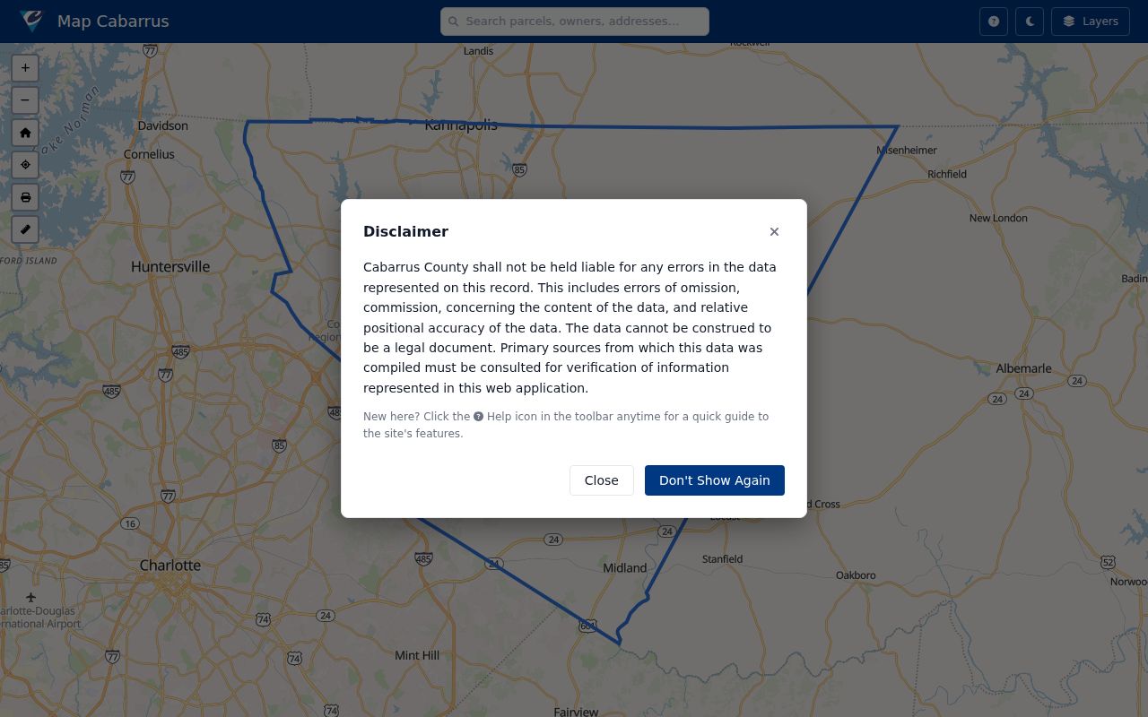
Use a selected parcel as a map reference, then confirm the legal description and recorded document with the Register of Deeds.
Deed History Along a Cabarrus County Street
A recorded deed can take a Cabarrus County street directory search backward through ownership. From the current parcel, open its CLaRIS deed or history link, identify the purchase deed, and note the grantor, the person or entity transferring the property. Search that grantor as an earlier grantee or owner, matching the legal description, PIN, subdivision, or lot and block. A seller's later mailing address should not be inferred from the old deed. The document proves parties to a transaction and the property described, not the seller's later residence.
- Parcel
- A mapped tax-property unit identified by county keys such as a PIN or parcel number.
- Situs address
- The physical location of the parcel, which can differ from an owner's tax-mailing address.
- Plat
- A recorded map that can show lots, blocks, roads, and subdivision relationships.
- Criss-cross directory
- A historical directory arranged by address rather than only by name; no complete local shelf was verified, so ask the Lore Room about a particular year.
A CLaRIS map card can display the following documented elements. Older detail may be present in the card image even when an electronic transaction line is unavailable.
| Taxable owner | Owner or owners for the tax year, which may not reflect every owner of a multi-owner parcel. |
|---|---|
| Identity keys | Township, map, parcel, ten-digit PIN, old PIN, plat book and page, address, or property description. |
| Card and history | Card image, electronically represented property transactions, comments, and additional deed references where available. |
| Document routes | Deed, plat, View Map, Tax Card, Print Card, and Select links documented in county help. |
| Record status | Informational county data, not a legal document or certified record; verify with the deed, plat, and Register office. |
The Cabarrus online records entry point leads back to the Register of Deeds, which controls the official records. CLaRIS is expressly an informational copy. Use the office for certified or controlling material and compare the deed to its plat when an address and legal description do not line up.
The county entry point directs an address-based search toward the land-record systems that hold the recorded deed trail.
Permit Files by Cabarrus County Address
Permit material can add an address date and a work description to a Cabarrus County street directory trail. The documented 2015 GIS permit layer includes a PIN14, permit number, applicant, file date, category, group, type, subtype, detailed description, status, lot, owner name, address, subdivision, and map geometry. Historical service layers appear for 2004 through 2024. Those fields identify an application or permitted work, not who occupied the property or who held title at every point in time.
The 2015 permit layer is a usable fallback when the interactive permit route is difficult to search.

OpenData exposes address, parcel, voting-precinct, and related layers that can be compared with a permit's location fields.
For current permit and inspection functions, the county's Construction Standards online access describes account, permit, inspection, and inspector-status functions.

Current interactive coverage and every public search field were not confirmed, so permit history should be checked with the county when a result is important.
Note: The county confirmed a 2015 permit layer and historical service layers, but not a complete current public permit archive.
Cabarrus County Address Records Compared
Each source answers a narrower question than a full Cabarrus County street directory. The assessor inventory names taxable owners and parcel details. GIS explains where the parcel sits. CLaRIS and the Register connect it to deeds and plats. The voter list is a separate registered-voter record, while historic directories provide a dated snapshot. Use the access route that matches the question, then reconcile matching identifiers before drawing a conclusion.
| Address-keyed source | Custodian | What it can show | Access channel |
|---|---|---|---|
| Tax parcel and Real Estate Search | Real Property / Land Records | Taxable owner, address fields, account or PIN, land size, zoning | Online, phone, or counter |
| Map Cabarrus | GIS | Parcel geometry, adjacent parcels, aerials, zoning, flood and school layers | Free web map |
| CLaRIS and deed index | Register of Deeds | Deed, plat, map, card history, and instrument links | Online and Register office |
| Subdivision plans and plats | Register and GIS | Lot, block, subdivision, roads, legal description | CLaRIS, office, Lore Room, or archives |
| Permit layers | County and city construction channels | Permit, application, status, address, lot, and description | GIS layers, interactive access, or county request |
| Voter records | NC State Board and Cabarrus Board | Public registered-voter address fields, precinct, district, and history | Individual search or Board request |
| Historic directories | Lore Room and digitized collections | Dated occupants, addresses, occupations, and directory abbreviations | Library, scans, and archive materials |
North Carolina law allows a person to request county or precinct voter lists with public fields and reasonable selective categories under N.C.G.S. §163-82.10. The Cabarrus Board of Elections is at 369 Church Street N in Concord, 704-920-2860, and lists public data with protected fields and addresses excluded. Ask the Board for the current format and cost rather than assuming a ZIP or street export is available.
Aerial History on Cabarrus County Streets
Map Cabarrus offers county aerial imagery back to 1938. That long visual record can place a subdivision change, a building's appearance, or a road pattern between dated documents. It cannot identify all people at an address, and it does not replace a survey or deed. For older Concord locations, the Library of Congress also holds a June 1911 Sanborn set with 17 sheets. Sanborn maps show building footprints, street names, and the surrounding built environment, not a household roster.
The county GIS imagery update notes that EagleView flies the county every two years and that 2023 imagery was added to the service. Compare the aerial layer with a permit date, plat, or recorded instrument before attaching a time period to a particular street address.
Older Cabarrus County Street Leads
CLaRIS documents electronic transaction details after January 2006, while details before July 2006 may appear only in a card image. It does not publish one complete deed-index start year. When electronic detail stops, take the address, PIN, legal description, plat reference, and deed book or page to the Register of Deeds at 65 Church Street S in Concord. The office lists public counter hours of 8 a.m. to 5 p.m., with recording hours ending at 4:30 p.m. on weekdays.
The Cabarrus Library Lore Room is another local channel for older address work. Its Concord collection reaches back to 1750 and includes deeds, tax lists, court minutes, marriage records, estate papers, county censuses, microfilm, and family files. Historic directory scans can help test an old address, but the exact local criss-cross shelf was not verified. The separate Cabarrus County city directory collections provide the confirmed digitized directory runs and entry-reading context.
For county records that do not belong to a specialist portal, use the county's public-records request route, visit the County Manager channel, or ask the relevant custodian. North Carolina's Public Records Act provides inspection at reasonable times and copies as promptly as possible, but the research did not find a universal deadline or a fixed fee for every request.
Note: Older street research often succeeds only after the parcel's legal description connects changing labels across maps, deeds, and library material.
Limits of a Cabarrus County Street Directory
A Cabarrus County street directory is a chain of public record clues, not a census of every household. Tax and GIS data can identify a taxable owner, which may be a trust, company, or nonresident. A voter record covers registered voters, not every adult at the address. Public property records do not identify all associated household members. Driver-license addresses are restricted, and public utility customer lists and delivery records were not found as open address indexes. A historic directory is also a dated publication that can omit people or preserve old spellings.
Lawful use. Address records support personal, lawful research and civic understanding. Using them to stalk, harass, or intimidate another person can violate North Carolina law.
Protected voter addresses and other confidential information remain outside the public fields. Treat a mismatch as a reason to verify with the controlling custodian, not as a reason to fill gaps with assumptions.