
Cabarrus County ZIP Codes Across the Map
The county GIS ZIP layer identifies 19 ZIP polygons associated with the Cabarrus mapping extent. Some are strong local associations, such as Harrisburg, Midland, Mount Pleasant, Concord, and Kannapolis. Others are edge or overlap areas whose postal labels point toward Charlotte, Gold Hill, Rockwell, Locust, Huntersville, Davidson, China Grove, or Landis. A polygon is a map reference, not a promise that every address inside it falls in Cabarrus County. Verify the particular parcel before treating a ZIP or city label as a jurisdiction decision.
| ZIP | Documented local association | Postal city label | Verification note |
|---|---|---|---|
| 28023 | Kannapolis-area edge | Kannapolis, sometimes China Grove or Landis context | Two-county and postal-city caveat |
| 28025 | Concord and Kannapolis area | Concord / Kannapolis | Use USPS address lookup |
| 28027 | Concord and Kannapolis area | Concord / Kannapolis | Kannapolis list and county polygon |
| 28036 | Kannapolis and outer north area | Davidson / Kannapolis | Postal city may differ |
| 28071 | County GIS polygon | Gold Hill | Edge or overlap, verify parcel |
| 28075 | Harrisburg | Harrisburg | County locations use this association |
| 28078 | Kannapolis and Huntersville edge | Huntersville / Kannapolis | City and county mismatch is possible |
| 28081 | Kannapolis | Kannapolis | County and city facilities use it |
| 28083 | Kannapolis | Kannapolis | Official city list and county facilities |
| 28088 | Kannapolis and China Grove edge | Kannapolis / China Grove | Verify county line |
| 28097 | Southeast edge | Locust | Edge or overlap, verify parcel |
| 28107 | Midland | Midland | Town and county locations use it |
| 28124 | Mount Pleasant | Mt. Pleasant | County facilities use it |
| 28138 | Northeast edge | Rockwell | Edge or overlap, verify parcel |
| 28213 | West and southwest edge | Charlotte | Postal city is not a county test |
| 28215 | County edge | Charlotte | Verify parcel and jurisdiction |
| 28227 | Southwest and east edge | Charlotte | Verify parcel and jurisdiction |
| 28262 | West and northwest edge | Charlotte | Verify parcel and jurisdiction |
| 28269 | Western edge | Charlotte | Verify parcel and jurisdiction |
The county's GIS ZIP-code layer is the basis for the polygon list.
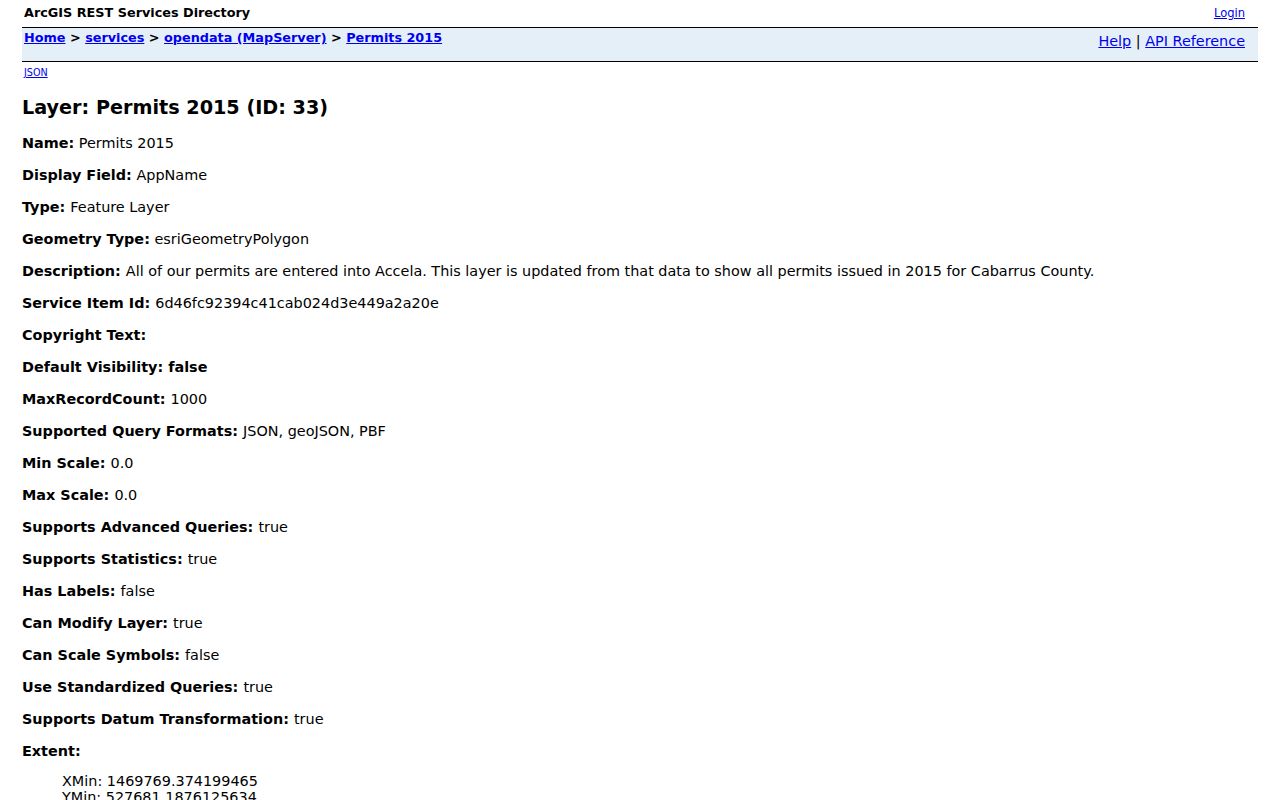
The map layer supplies county geography; use a delivery-address check and parcel record to resolve one address.
Eight ZIP Codes Connect Kannapolis to Two Counties
Kannapolis is the clearest local warning against equating a city name with a single ZIP or county. The city's official page says Kannapolis uses eight postal ZIP codes: 28036, 28027, 28025, 28083, 28023, 28078, 28081, and 28088. It also says the city spans Cabarrus and Rowan counties. Several of those ZIPs can carry Davidson, Concord, Huntersville, Landis, or China Grove postal designations in addition to Kannapolis. USPS and the city may recognize Kannapolis as a city name while the street and ZIP remain unchanged.
A Cabarrus County ZIP code directory therefore needs a parcel check before it assigns a county, city service, election district, or record custodian. That check is especially useful at the northern edge, where a postal label can describe delivery rather than a municipal boundary.
The City of Kannapolis ZIP-code explanation shows the municipal postal geography.
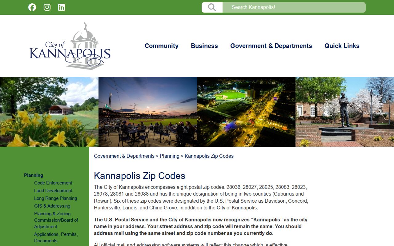
Those eight ZIPs are delivery areas across a local region, not eight separate municipal boundaries.
Note: A postal city shown in a result can still differ from the parcel's county and municipal jurisdiction.
Find Cabarrus County Residents by ZIP Code
A ZIP code can define a candidate area, but the county's key record systems do not all accept ZIP as a direct search field. Begin on the map, then use the address and parcel identifiers that the next system recognizes. The Real Estate Search form uses structured address and municipality fields rather than a captured ZIP field. North Carolina's individual Voter Search uses first and last name, optional birth year and county, plus voter status. Its form is county based, not ZIP based.
- Use the GIS ZIP polygon and address layers to identify the relevant geographic area.
- Confirm the specific delivery address with USPS before relying on the ZIP label.
- Search the parcel or address in the county's Real Estate Search and preserve the situs address, PIN, and legal description.
- For a lawful registered-voter question, use an individual name search or ask the Cabarrus Board of Elections about a current county or precinct list and permitted public fields.
- Once a ZIP search narrows to a road, use the Cabarrus County street directory for the full address-keyed parcel, deed, and map sequence.
The Board's list route is controlled by N.C.G.S. §163-82.10. Public voter output has exclusions, and the research did not capture a fixed Cabarrus fee or a ZIP-specific file format. Ask the Board for current media and reproduction details.
Cabarrus County ZIP Code Layers in GIS
Map Cabarrus and the county OpenData services make ZIP geography usable with parcel information. The OpenData folder names Zipcode, Addresses, Tax Parcels, centerlines, municipal boundaries, school districts, flood hazards, and voting precincts. The Addresses layer includes ZIP Code, whole address with ZIP, unit type and number, road prefix, road name, road type, suffix, city, state, and address type. That supports ZIP-wide spatial filtering or a download, even though the public Map Cabarrus interface did not have a confirmed ZIP search box in the research capture.
The Cabarrus GIS department also provides the Addressing Department and Street Name Lookup links. Its GIS help contact is 704-920-2487, and Land Records lists 704-920-2405. Those are useful county channels when a street component or address point needs clarification.
The county's GIS information page shows the local geography service behind the ZIP layers.
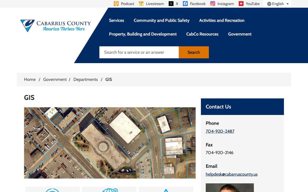
Use GIS to establish a geographic candidate area, then use the parcel and delivery-address records to verify the location.
USPS Checks for Cabarrus County ZIP Codes
USPS is the verification route for a particular delivery address after the county map identifies the parcel. It does not interpret a Cabarrus parcel or decide whether a postal address falls inside a municipality. The tool has three distinct search modes, so the right one depends on the information already known.
| USPS lookup mode | What to enter | What it returns |
|---|---|---|
| ZIP Code by Address | Street address with city and state, or street address with ZIP | The ZIP for the delivery address |
| By City and State | City and state | ZIP codes associated with that city and state |
| Cities by ZIP Code | ZIP code | Cities associated with that ZIP |
The USPS ZIP Code Lookup provides those address, city-and-state, and ZIP-to-city routes.
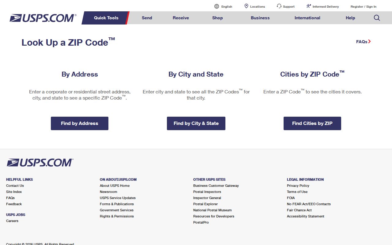
A USPS result confirms postal service information, while the county parcel layer confirms the mapped county location.
Note: USPS resolves mail delivery, while county GIS and parcel records resolve the mapped locality and record path.
Why the Cabarrus Assessor Skips ZIP
The captured Cabarrus Real Estate Search does not visibly offer ZIP as a search field. Instead, its address route breaks a location into house number, unit, direction, street name, type, suffix, and municipality. It also has owner, account, parcel, TMP, tax-year, land-size, land-type, and zoning fields. That design is useful after a ZIP polygon points toward a neighborhood, but it means a ZIP code directory search normally moves from GIS to a street or parcel search rather than directly into the assessor form.
The county's Tax Center links real-estate inquiry, sales, tax values, CLaRIS, tax-data download, and foreclosure information. The county warns that its property data is inventory information assembled from deeds, plats, and public records. Confirm a title question with the Register of Deeds rather than relying on a map or tax result alone.
The Cabarrus tax-services page is the county entry for property and tax tools.
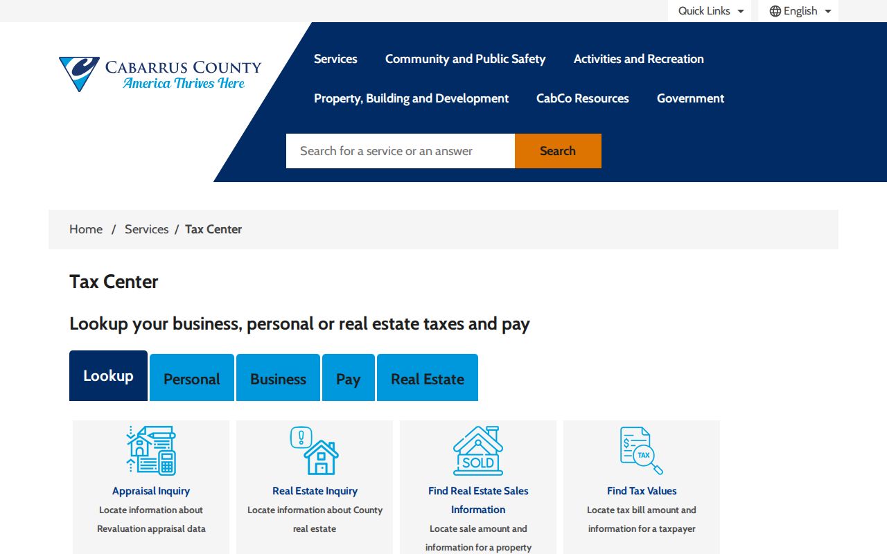
Use the ZIP layer to find the area first, then use the property's structured address and parcel keys in the county tax records.
Cabarrus County ZIP Code Boundaries and City Labels
ZIP code boundaries and city limits solve different problems. A ZIP is a postal delivery geography. A municipal boundary affects city services and local jurisdiction. A county line identifies which county records may govern a parcel. Cabarrus GIS municipal-district layers can provide city and town context, but the research did not identify a specific countywide annexation year or address list. Do not use a mailing city as proof of county jurisdiction, especially in the Kannapolis, Charlotte, Davidson, Huntersville, Gold Hill, Locust, Rockwell, China Grove, and Landis edge areas.
Boundary check. Compare the USPS result, GIS parcel, municipal layer, and controlling county record before describing an address as located in Cabarrus County.
- ZIP code
- A Postal Service delivery-area identifier. It is not a county or municipal boundary.
- ZIP+4
- An added four-digit delivery segment used to sort mail more precisely within a ZIP code.
- PO-box ZIP
- A ZIP assigned for post-office boxes, which does not establish a parcel location.
- Unique ZIP
- A ZIP used for a single organization or delivery purpose; none was documented for Cabarrus in the research.
- Carrier route
- A mail-delivery sequence within an area, not a public county-resident register.
Address Keys Behind a Cabarrus County ZIP Code
Several address types can appear in the same research trail. The assessor and GIS use a physical situs address and parcel identifier. Tax mail uses the owner's mailing address. Deeds and plats rely on a legal description, PIN, book and page, or lot and block. Voter records use residential and mailing address fields subject to statutory exclusions. USPS uses the delivery address. A conflict between those forms is not unusual, and it should be resolved with the record that controls the question being asked.
The county's OpenData service list puts addresses, parcels, ZIP polygons, and municipal context in one GIS collection.
Parcel and address layers can help place an address on the ground, but they do not replace the recorded deed or the USPS delivery result.
Cabarrus County ZIP Geography in Numbers
The 2020 Census counted 225,804 Cabarrus County residents, compared with 178,011 in 2010. The Census QuickFacts display cited in the research showed a 2025 estimate of 249,725. Population change makes it more important to distinguish delivery labels from parcel and municipal geography, especially where a developed area reaches a postal or county edge. Those counts describe the county as a whole. They are not ZIP-level population totals and should not be used to infer the number of people at any address.
The county's GIS imagery update says the county is flown every two years and that 2023 imagery was added to the service.
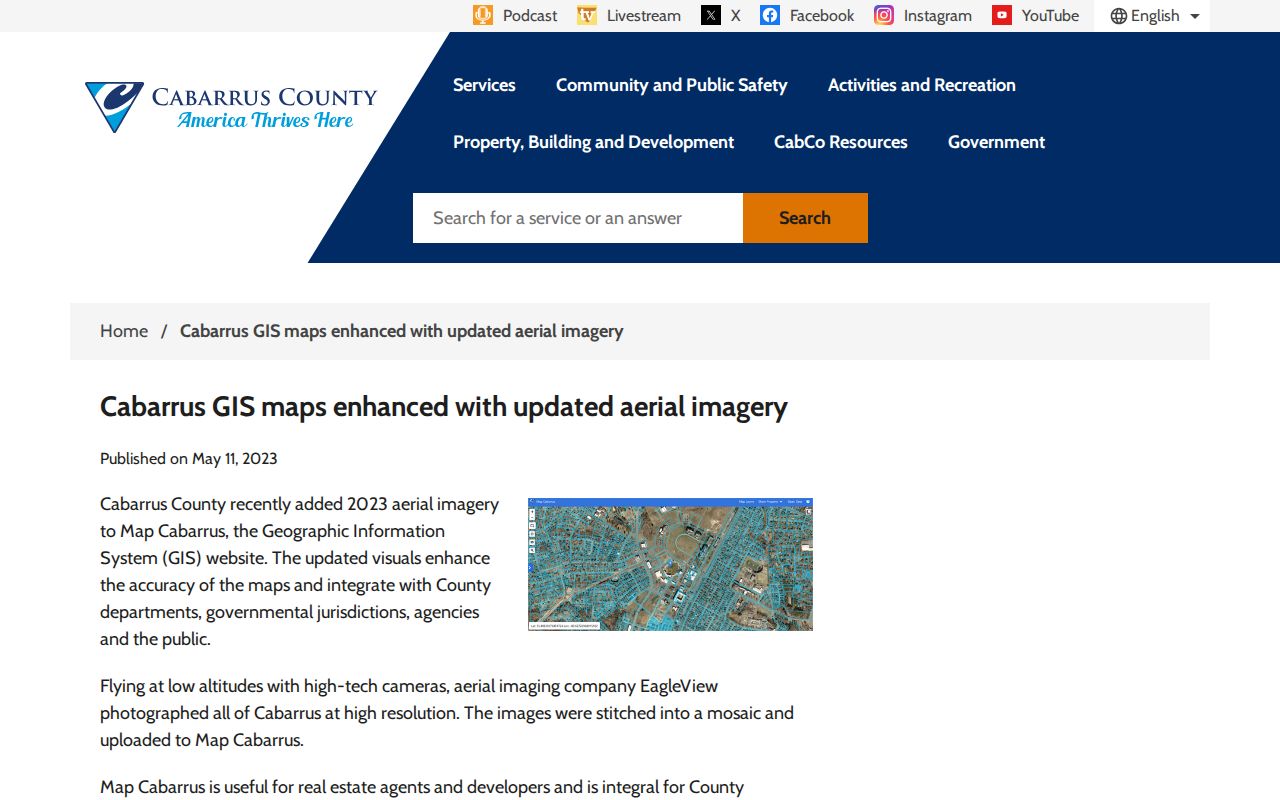
Compare current imagery with parcel and municipal layers when a fast-changing edge area needs a geographic check.
Note: ZIP totals, postal city labels, and county population figures answer different geographic questions and should not be substituted for one another.